ATLAR-5D™ Anchor
ATLAR-5D™ Tag
Heat Maps & Spaghetti Diagrams
ATLAR-5DTM system tracks and records the real-time location of ‘tagged’ assets at rates up to 50 times per second. This data is processed into line-based visual maps know as spaghetti diagrams or maps. Spaghetti mapping the flow of forklifts, personnel, or other equipment can be an immensely valuable tool for warehouse management, enabling process teams to improve operations.
Heat mapping is the practice of representing data where the individual values of a dataset are shown using colors. Heat maps are useful in many applications, the most common of which is weather mapping. The color can be configured to change with increased traffic over a path (Blue the least and Red the most intense). These maps show all forklift traffic over a 24 HR period at an operating warehouse in Indiana. The maps can be configured to show any combination of tracked assets and for any given period of time. The most common paths quickly turn red, and locations not generally driven tend to fall out. This data could be used to improve the final position by generating real ‘road maps’ that would force the final location on to the road (similar to how a car based GPS systems work).
Warehouse accidents are preventable.
See the ATLAR-5D™ in action.
Ultra-Wide Band (UWB) Real-Time Location System (RTLS) Demonstration of forklift tracking in a warehouse.
The Solution:
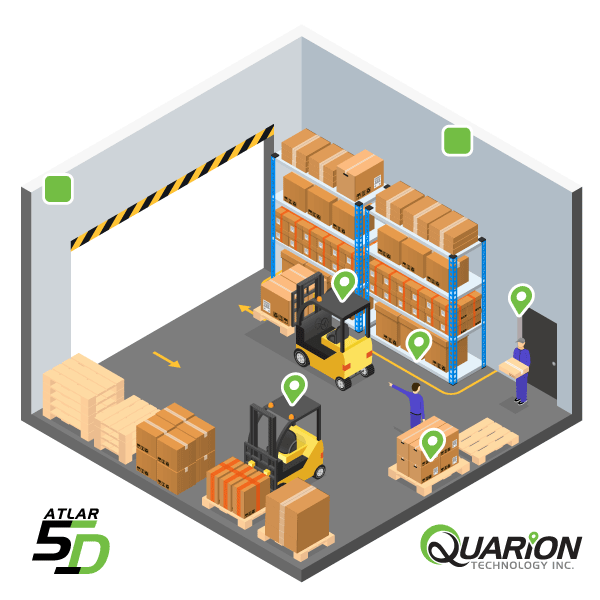
Quarion Technology’s patent-pending ATLAR-5D™ to compute the real-time coordinates and STOP forklifts before they enter a geo-boundary or ‘Zone’ that is deemed unsafe.


